How to Stay Up to Date on Public Outdoor Recreation Lands Near Your Park
Keep Your Guests Updated on Projects Near Your Park
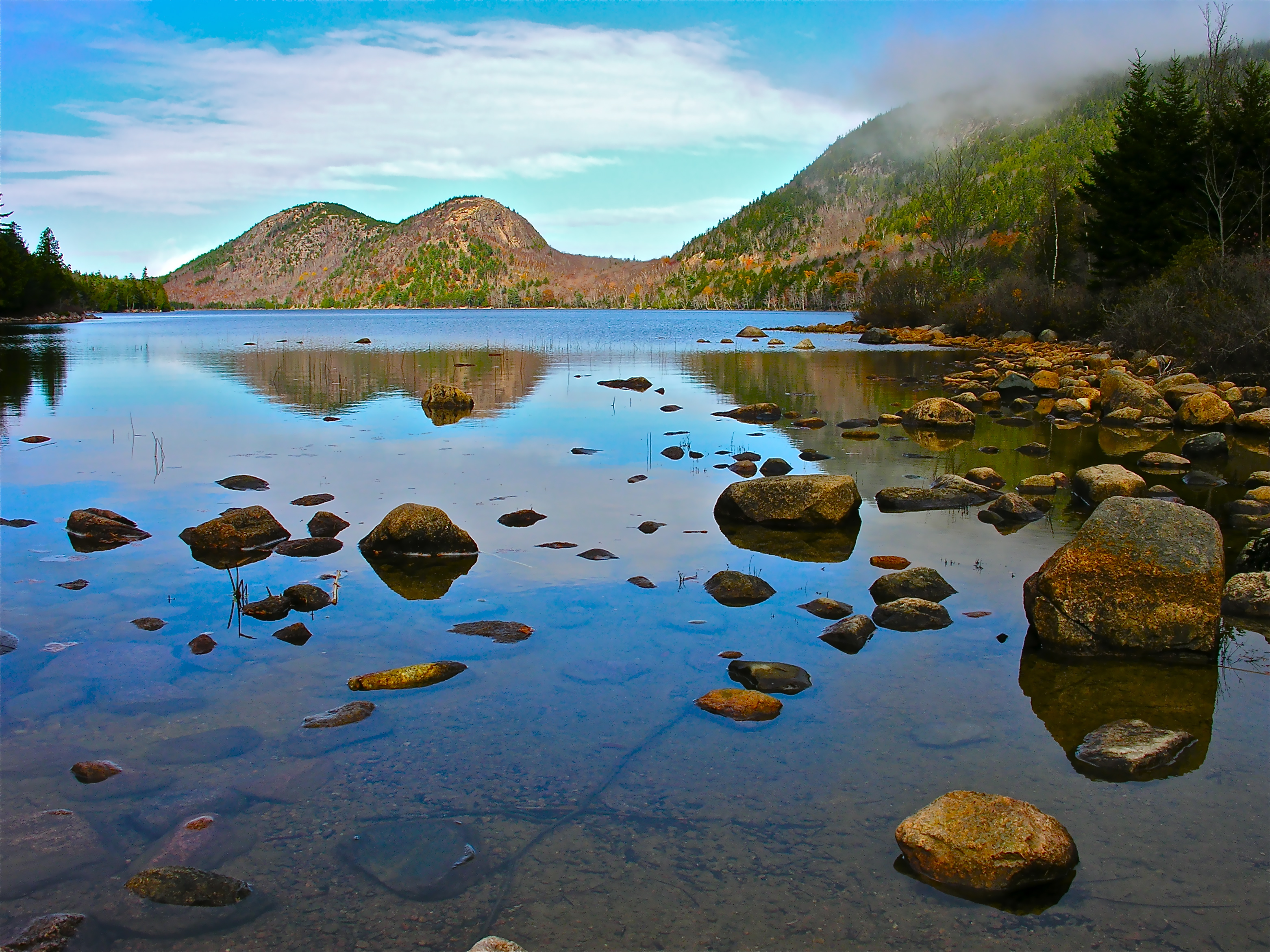
Having public recreation lands such as national parks, national forests and wildlife refuges located near your park is good for business. These protected areas give guests even more reasons to stay with you and more places to explore when they get there. And now, there’s an easy way for you to learn about existing public land conservation projects as well as those that are in the planning stage.
For more than 55 years, the Land and Water Conservation Fund (LWCF) has served as America’s premiere land conservation and outdoor recreation access program, benefitting Americans in every state. For years, the LWCF has wanted to create a user-friendly, “one-stop” map and database of the projects it has invested in over the years, and now that project is a reality. LWCF has now created two maps—one for past projects and another for future projects that have been proposed.
Creating a searchable map of this magnitude required a major collaborative effort from the staffs of the Bureau of Land Management, National Park Service, US Fish and Wildlife Service, and US Forest Service. Invaluable assistance was also provided by many non-profit partners: Land and Water Conservation Fund Coalition, Appalachian Trail Conservancy, Land Trust Alliance, National Association of State Outdoor Recreation Liaison Officers, National Recreation and Park Association, The Conservation Fund, The Nature Conservancy, The Wilderness Society, Western Rivers Conservancy and the Wilderness Land Trust.
How to Use the Maps:
To learn about existing LWCF projects in your area, go to https://lwcf.tplgis.org/mappast/ and enter your location. This will bring up a map with color-coded icons representing projects completed for the Bureau of Land Management, Forest Legacy Program, National Park Service, US Forest Service and US Fish and Wildlife Service. Click on any project to learn more details.
LWCF has also created an interactive “Future Projects” map at https://lwcf.tplgis.org/mapfuture/ that shows projects submitted by federal agencies to Congress as part of the annual budget and appropriations process as well as projects identified by state, local, and non-profit partners. Also searchable by location, the map includes colored icons that identify projects proposed for battlefields and historical sites, outdoor recreation access, water quality and supply, wildlife habitat, working lands and state and local parks.
A large number of these potential project needs were identified through a public survey conducted by the Outdoor Recreation Roundtable (ORR), the nation’s leading coalition of outdoor recreation trade associations, of which ARVC is a member, in partnership with Oregon State University.
The LWCF is our nation’s most important source of funding for conservation and outdoor recreation for all. The organization’s mission is to protect the places that matter to you, which, of course, also means they matter to your guests.
Keep Your Guests Updated on Projects Near Your Park
Now, with the help of the LWCF maps, it will be easier for you to learn more about past and future projects relating to the conservation of public recreation lands near your park. Add this information and links to these improvements to your GoCampingAmerica.com profile to share with potential guests.